Drones are the ultimate surveillance , observation & monitoring tool. An aerial view provides an unparalleled way to observe and assess difficult to reach targets, terrains, infrastructures or buildings.
A classical approach to surveillance & observation via ground static cameras, ground vehicles, helicopters and planes is often very limited, extremely expensive and/or inefficient. A UAV observation & monitoring approach is much less risky, more flexible, easier & quicker to deploy and multiple times less expensive than classical monitoring methods,
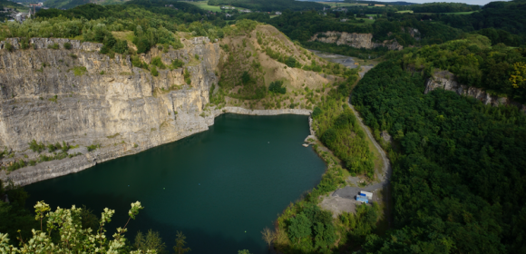
- Environment surveillance :
-Safely observe & evaluate bad weather events & its damages, as well as monitor environmental conditions;
-Nature & wildlife monitoring , assessment, inventory, ...
-Observation of disaster areas, ortho photo mapping of land and water bodies ...
- Ground infrastructures/land observation :
-High voltage electric distribution lines, Railways, Pipelines, any other industrial infrastructure or building sites, ...
-Disaster areas assesment and support, first emergency support and medication delivery, ... Example : forest's fire monitoring; fire departments support, fire scale assesment & mapping;
-Oil and gas exploration, Pipeline monitoring, Wind turbines construction phases monitoring, ...